Have I mentioned that we each carry our own gear to the trucks?
It was another nice day -- I'm going to call SR 12 the "Necklace of Idaho", because of it's location, it's shape, the numerous historical sites, the nice road, and the fact that Idaho is the Gem state and "Lewis And Clark Expedition" make the acronym "LACE". *grin* Our directions are getting simpler -- get onto SR 12 E, stop at Pit 1, return to SR 12 E, stop at Pit 2...and so forth. Only a few turns when cities are reached for pit stops.
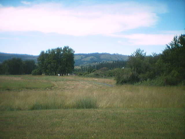
The topo map on this day (and the following ones) is severely degraded -- irregular horizontal lines and no elevation markings -- but it shows a steady climb. Actually, it wasn't bad at all -- to the rider, it looked like downhills -- but the river flowed the other way! I suppose it was just more up than down, but not enough to really notice.
The historical markers on this "Scenic Byway" (now I know what a byway is) are great -- we learned about Coyote's Fish Net (he got tired of Black Bear, the busybody, interfering with something or other, and threw his net across one hill and turned Black Bear into stone on the other one) and the Ant and the Wasp (and Coyote -- they wouldn't stop fighting, so he turned them into stone too while they were locked in combat, forming an arch of rock on a hill), and later the Heart of the Monster, which is the Monster which Coyote (the all-powerful animal spirit) killed and strewed about it's parts -- out of each part came a tribe, and the Nez Perce came from the Heart)
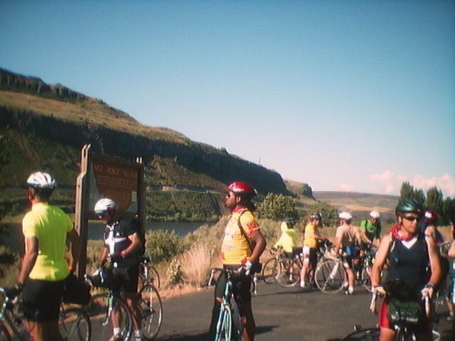
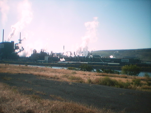
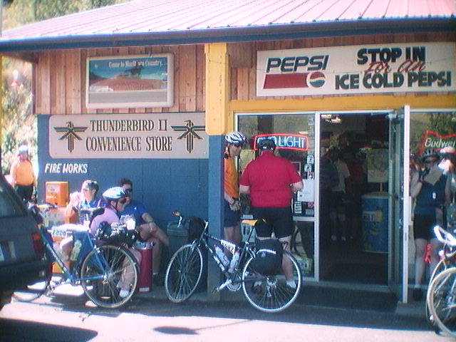
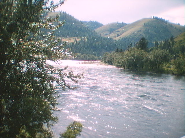
This day was quite a contrast -- after leaving Lewiston and entering Clearwater Canyon, the decrease in noise and overall visible human impact was amazing. Pit 1 was at this random spot off SR 12, full of bikers enjoying the sunshine -- and putting on more sunblock! We left, with about 30 miles between us and pit 2, so we stopped at what turned out to be a smoke shop on the Nez Perce reservation which, ironic or not that we were there, did sell us lots of non-meltable food and cold drinks!
Lunch was in Orofino, 9 miles sooner than was marked on the map (we think they reversed the digits). We refilled water bottles at Pit 2, then headed to Becky's Burgers, a trippy place with spider booby traps and some silly antiques and signs (i.e. 150 year old gun stock, needs refurbishing). We continued up SR 12 East to Kamaiah, for Pit 3, after which we crossed the Clearwater River and headed towards Kooksia. Their population sign told us that we were about to more than double their numbers that night, what with 730 riders and lots of crew and staff! As we crossed the bridge, we also got a picture of some of the flying cotton-looking things (or maybe milkweed?) that were all through the air.
Camp was on the Clearwater Valley High School's football field, which hosted lots of little bugs (mostly non-biting, thank the gods!), and no rain -- just dampness the next morning.