The day dawned cold but clear -- it turned out to be a gorgeous day for a wonderful ride. Yes, it was 93 miles. But the first 60 or so had this amazing tailwind (for the eastbound portion of the trip), and even the cross-wind on the southbound portion wasn't *too* bad. 15 miles of it kinda sucked because of bad pavement, but so it goes.
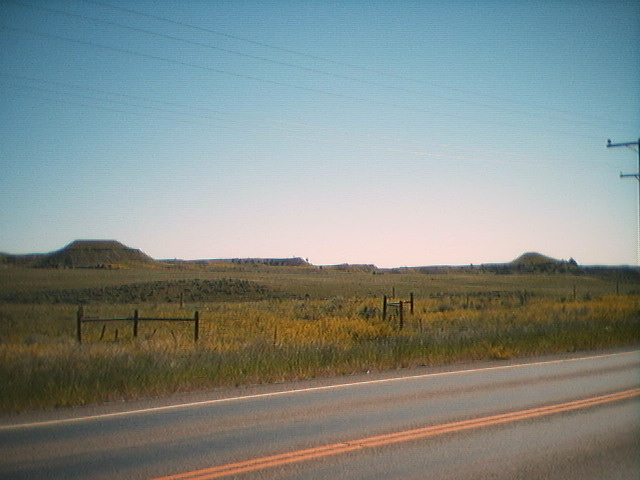
This part of Montana has sweeping fields -- some cultivated, some natural -- and long ridges of what really looks like sedimentary rock (horizontal bedding plane?) which has been formed into pillars. Ridges of this stuff come and go -- sometimes for miles at a time, always along the hill crests. Also, our route was following the Musselshell River on the north side for the first half of the day -- right until we turned south to Lavina, and crossed it and the Old Coulee river.
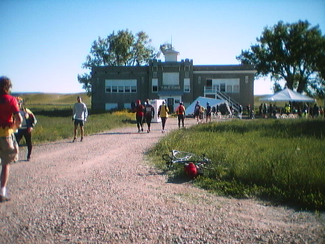
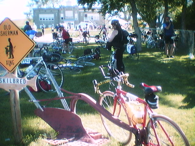
Pit 1 was a haven, even if it only took us 40 minutes to reach it because of the tailwind. It was at the middle school in a town which I can't quite remember the name of right now. We got a picture of Keith, who's riding a hand-cranked recumbent. I did take a couple of shots around the pit 1 area -- one of the playground and one of a typical mail box for this area -- usually involving a piece of farming equipment. We didn't really want to leave, but the other 80 miles were calling us.
Just out of Pit 1, flying along with the wind, Ro hit something -- we don't know what -- and although he seemed okay then, about a mile later he got Yet Another Flat -- also in the back tire (same as yesterday). It wasn't too bad though, because even stopped the wind was strong enough to keep you cool.
I took some more pictures of "Guess This Geological Feature" before lunch -- one of the conic and mesa-like hills and one of some of those pillar-like sedimentary-type structures. We then turned south onto MT SR 3, soon entering the small town of Lavina, MT. This is a way-cool town -- the center is about 2 blocks by 1 block, with a country store, a cafe where we at lunch, a park where Pit 2 was located, and a post office which they opened up for us *on Sunday* for the riders.
Upon leaving Pit 2, we climbed a 3 mile hill to enter both Yellowstone County and the beginning of a very large evaporated salt lake bed. It was almost like entering the desert but still fairly gradual. Pit 3 was at another school, very nice but already the heat was becoming the overwhelming factor. After relaxing at Pit 3, the road changed to 15 miles of light-colored gravel with rumble strips just on our side of the shoulder and we started riding with at most a quarter tailwind, but more often a full crosswind. This was the hardest part to get through, but happily at the end of the 15 mile stretch lay the Acton Bar and Steakhouse, at which we spent about an hour drinking lemonade and diet coke and talking with several other riders who were also looking for a place to get out of the heat, out of the sun, and for a bathroom that didn't have several hundred mosquitos just waiting for the unwary!
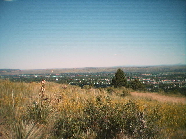
About 10 miles later we got our fist glimpse of Billings, through a pass which showed the valley below. It seems that Billings is in the lowest part of this old lakebed; it is ringed by the same pillar/sedimentary rock formations (in fact, it's mall is called Rimrock Mall!). We came in from the east onto Overlook Drive, which is essentially a great place to park and watch the lights of the city, or look down on it as it fills the valley floor. We got to our campsite at Castle Rock Middle School after winding our way through several of the streets, fighting really strong headwinds on a couple of the roads. After a final steep hill, we were there! Our fastest century yet -- boy do I like tailwinds! We didn't go into the city that night, though, because I needed to catch up on my sleep. I must have been dozing off by 8:30pm, actually. *smile*.